Lake Sakakawea Size: What Its Scale Means for Fishing
Lake Sakakawea’s vast footprint is more than a headline number: changing water levels, long travel distances, and exposed shoreline all affect how you plan a day on the water.
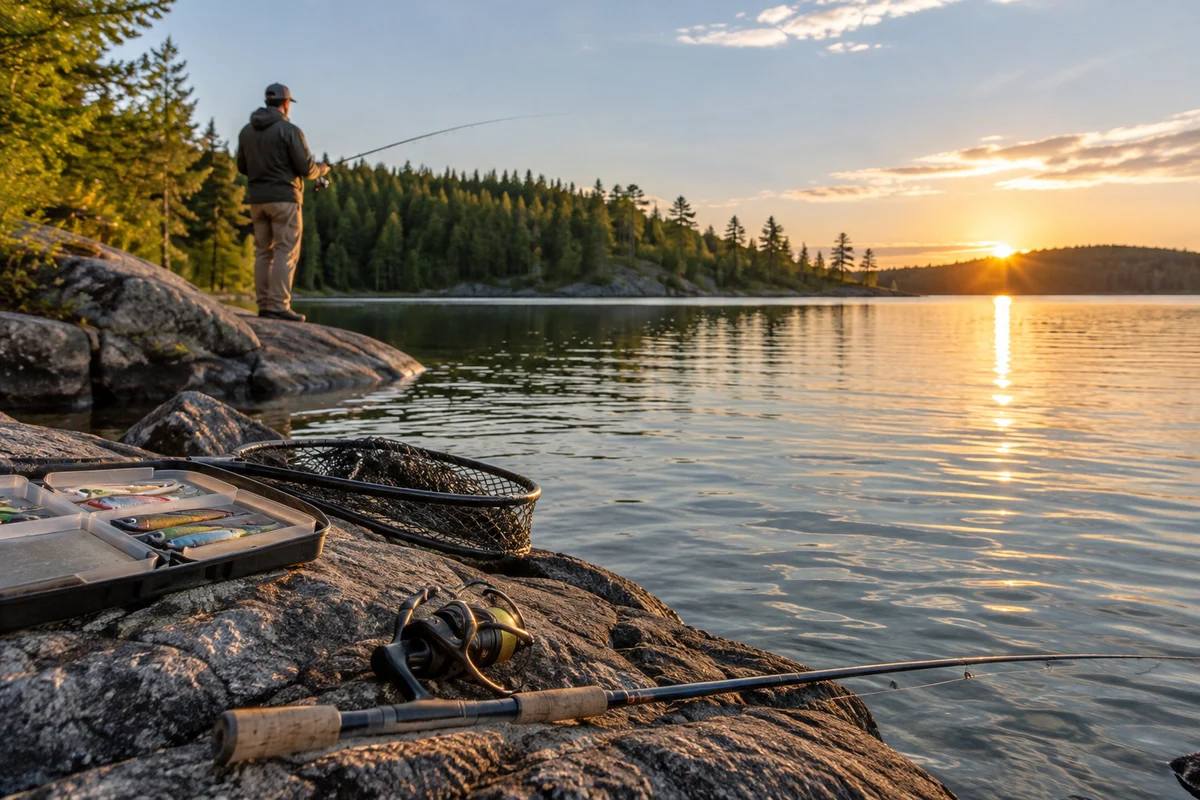
Lake Sakakawea size is often summarized as roughly 368,000 acres at a high or full pool, with the reservoir stretching about 178 miles along the Missouri River system. Those figures help explain its scale, but they are reference measures—not a promise that every cove, shoreline, or boat route will look the same from season to season. Water levels shift, and the lake’s immense footprint makes choosing a manageable area as important as choosing a fishing technique.
How large is Lake Sakakawea?
Commonly cited reference figures put Lake Sakakawea at approximately 368,000 acres at full pool and about 178 miles in length. The first number describes surface area; the second conveys how far the long, branching reservoir reaches. Together, they make clear that this is not a small local lake where a quick lap by boat gives a complete picture.
Treat those figures as a way to understand scale, not as a fixed outline. Reservoir area and shoreline appearance depend on water elevation. When the level changes, shallow edges, coves, and the distance between water and familiar landmarks can change too. The amount of shoreline is especially hard to reduce to one dependable figure: winding bays and arms create a far more irregular edge than a simple length measurement suggests.
For fishing plans, the practical takeaway is simple: choose a section, rather than trying to cover “the lake.” A map can show the broad layout, but current official information and conditions on arrival matter for access, navigation, and the water actually available along the bank.
Why do size figures vary?
A reservoir’s surface area changes with its elevation. A number described as “full pool” is a reference condition, while the lake encountered on a particular visit may sit above or below it. Even when the difference seems modest on a gauge, shallow terrain can reveal or submerge broad areas along an irregular shoreline.
Measurements also answer different questions. Surface area in acres is not the same as the length of the main body, total shoreline, or the area that is convenient to reach from a particular launch. Shoreline estimates can vary with mapping scale: a detailed map traces small bends that a simpler map may smooth over. So if two sources give different dimensions, check what each one measures and what water level it assumes before treating either as a contradiction.
For a trip, an exact acreage figure is less useful than practical, current details: the location of public access, the route to your chosen area, current lake conditions, and any advisories or restrictions. Check official North Dakota and reservoir-management information close to departure rather than relying on a static size statistic.
What does the lake’s scale mean for fishing?
The sheer area creates many possible places to explore, but it also rewards a focused plan. Start with a manageable region and identify a few nearby alternatives. Consider how much time you want to spend traveling versus fishing, and leave room for conditions to change. A plan that depends on crossing a large part of the reservoir may be less useful than one built around a specific bay, point, or accessible stretch.
Size alone does not tell you where fish will be. It cannot substitute for seasonal knowledge, observation, or current local guidance. A fish finder may help you interpret underwater structure and depth where you are fishing, but it does not turn a huge reservoir into a guaranteed pattern. For a measured look at the limits of interpreting electronics, see this discussion of fish-finder readings and what they can tell you.
Likewise, lure choice is only one part of the decision. A compact, repeatable approach—covering a small area thoughtfully and adjusting to what you observe—is often easier to evaluate than changing locations and presentations constantly. A whistler jig overview can help explain one style of lure, but no single presentation is a shortcut to reading a large, changing body of water.
How should you plan a manageable visit?
Use the lake’s size to set boundaries for your day before you leave. These steps help turn a broad map into a practical outing:
- Pick one zone. Choose an area that fits your available time and the kind of access you plan to use. Avoid treating distant arms as casual backup destinations.
- Check current access details. Confirm that the launch, road, or shoreline access you intend to use is open and appropriate for your trip. Conditions and access can change.
- Review current water and weather information. Wind and changing conditions matter on a large open reservoir. Make a conservative plan and know when to shorten or end the outing.
- Set a turnaround point. Decide how far you will travel and when you will head back, allowing for the return journey and changing conditions.
- Keep alternatives nearby. Identify a second option within the same general area rather than relying on a long crossing to rescue the day.
If you are fishing from shore, do not assume that a large acreage figure means every stretch has simple public access. Check land and access information, follow posted rules, and avoid crossing private property. For boaters, consult current navigation and safety information and use equipment suited to conditions; a map’s broad outline is not a substitute for on-water judgment.
How does water level affect the shoreline?
As the reservoir rises or falls, the boundary between land and water moves. Banks that appear easy to reach on an old map or photograph may be different now. Low water can expose shallow areas and alter the route into a cove; higher water can cover portions of the edge that were previously dry. The exact effect depends on local terrain, so avoid assuming that all parts of the reservoir respond alike.
This is one reason the same place can feel different on separate visits. Use recent official updates and current maps where available, and treat remembered landmarks as orientation—not proof of a safe route or usable launch. If you are unfamiliar with an area, give yourself time to check conditions before committing to a long run or a distant bank.
What should you remember about Lake Sakakawea’s size?
The commonly cited figures—roughly 368,000 acres at full pool and about 178 miles long—describe a reservoir of exceptional scale, but they are not a live measurement of today’s shoreline. Water level, mapping method, and the specific dimension being reported all matter. For planning, the key is not memorizing every statistic: it is selecting a realistic area, confirming access and conditions, and allowing travel time for a large body of water.
For more practical freshwater guidance, browse the fishing tips and freshwater section. Use the lake’s size as a reason to plan deliberately, not as a reason to cover more water than your time, experience, or conditions allow.
Frequently asked questions
How many acres is Lake Sakakawea?
A commonly cited reference figure is about 368,000 acres at full pool. The actual surface area changes with reservoir elevation, so the figure is not a fixed measurement for every visit.
How long is Lake Sakakawea?
Lake Sakakawea is often described as approximately 178 miles long. The figure communicates its broad reach; the lake’s branching shape and changing shoreline make individual routes and distances different.
Does Lake Sakakawea’s size tell me where to fish?
No. Size describes the reservoir’s scale, not fish location. Choose a manageable area, check current access and conditions, and use observation and relevant fishing guidance to shape your approach.
Sources & further information
Consult these primary sources for current regulations, technical information and local guidance.